
Title
Preview

Creation Date
1856
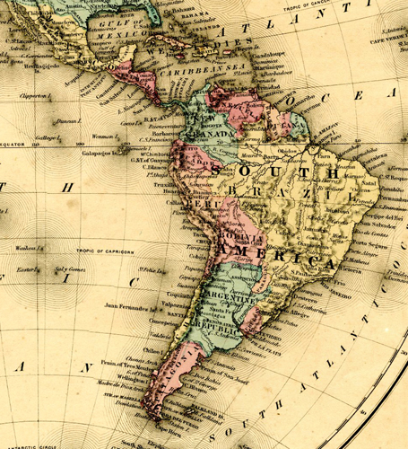
Description
Map of the western hemisphere in 1856 showing Canada, Greenland, United States, Mexico, Latin America and South America.
Keywords
Maps, Atlases, Cartography, North America, Latin America, South America, Central America