
Preview
Creation Date
1963
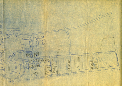
Description
The map is oriented to the southwest. The boundaries are 14th Street on the northeast, Chestnut & State Street and Normal Drive on the east, University Drive on the southwest, the L&N railroad on the north and US68 on the northwest. The map was filed with documents dating from 1961-1965.
Keywords
Western Kentucky University, Jonesville, African Americans, Maps, Cartography