
Maps begin with a physical survey of the area to be mapped. In centuries past data was collected using surveying equipment such as a compass, chains, telescopes, levels, paper and pencil. The information was then drawn on paper using protractors, parallel rulers, pen and ink. Later came drafting stencils. As each map was refined and improved it became a base map for the next region to to be mapped.
In the 21st century surveyors use hand held GNSS units and communicate with satellites to update geographical information. Benchmarks are placed on the ground. Cartographers have become computer programmers.
Here is some of the equipment employed to survey land and create maps.
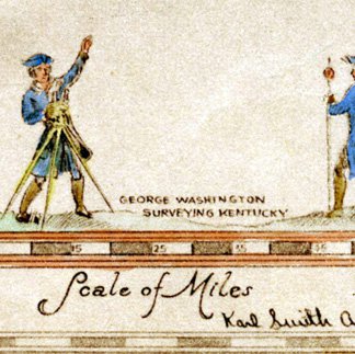
Surveying - Dark & Bloody Ground
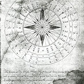
Ciphering Book
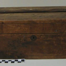
Compass Box
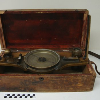
Surveyor's Compass
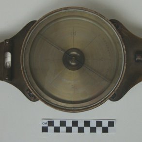
Surveyor's Compass 2
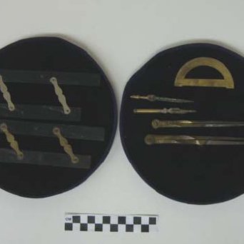
Drafting Set
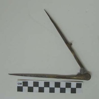
Compass
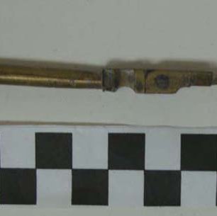
Compass Extension
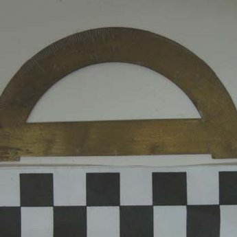
Protractor
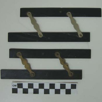
Parallel Rulers
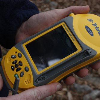
Handheld GNSS Data Collector
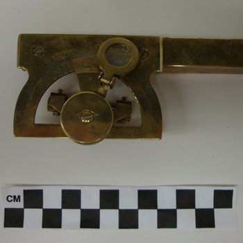
Abney Level