
Maps can be very beneficial to genealogists in locating the homes, farms and property of ancestors. D.G. Beers & Company of Philadelphia made many county and town maps in the 19th century. These locate individual homes and provide statistical data on county and town populations. The South Carrollton map was created by a family historian to identify homes of family members and how ownership changed over time.
Maps also show how political boundaries such as counties, states and territories have changed over time. It is possible for a person to have lived in multiple counties over time and never moved at all. Abel Buell's map shows how eastern shore states once claimed interior lands now held be Kentucky, Illinois and Tennessee.
Barkley Dam Project. Cumberland Matheny Cemetery, 1967, X45528
Beers & Lanagan. Map of Barren County, 1879, L36799
Buell, Abel. New and Correct Map of the United States of North America, 1784, S27378
D.G. Beers & Company. Map of Boyle and Mercer Counties, Kentucky, 1876, M34915
D.G. Beers & Company. Map of Madison County, Kentucky, 1876, M48550
Hiett, Jo. Farm Map of Western Warren County, 1920, S18958
John Thomson & Company. United States, 1800, SB2-34806
John Thomson & Company. United States of America, 1828, S34805
Johnson & Ward. Johnson's Kentucky and Tennessee, 1865, S22413
Woodburn, David. Genealogical Map of South Carrollton, Kentucky, 1956, S19243
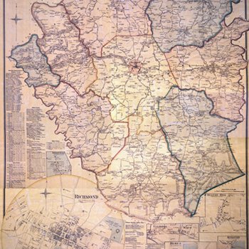
Map of Madison County, Kentucky
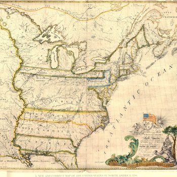
New and Correct Map of the United States of North America
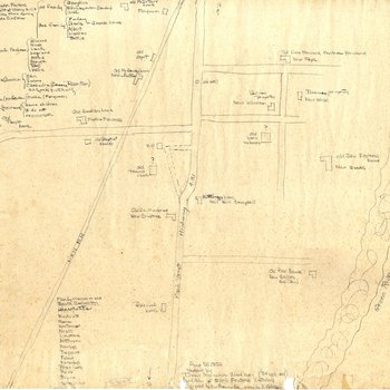
Genealogical Map of South Carrollton, Kentucky
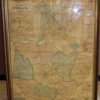
Map of Warren County, Kentucky
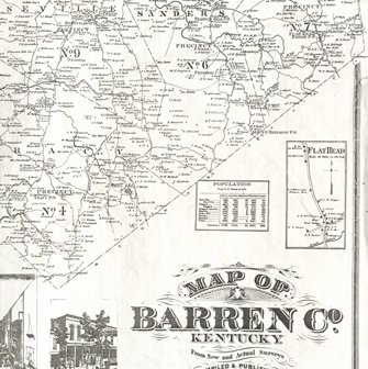
Map of Barren County, Kentucky
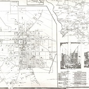
Barren County and Glasgow, Kentucky
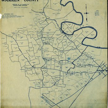
Jo. Hieatt's Farm Map of Western Warren County
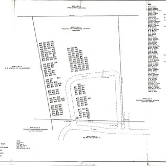
Cumberland Matheny Cemetery
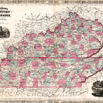
Johnson's Kentucky and Tennessee
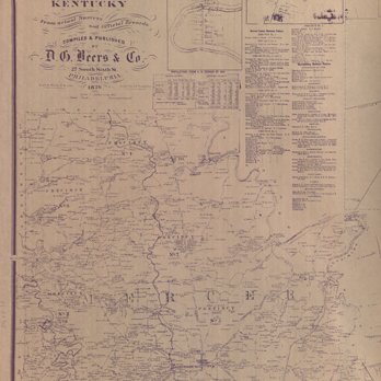
Boyle and Mercer County, Kentucky
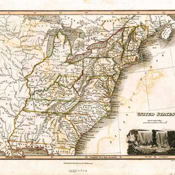
United States
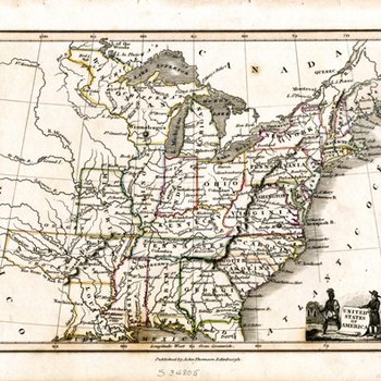
United States of America