
Urban planning has been part of people's lives since the creation of the first town. As any advertising executive can tell you location is important.
This section of the exhibit highlights WKU's efforts in designing the physical university on the Hill in 1909 and the recreation of it in the years since. There are spaces designed for learning and those designed for living and recreation. As the student body has increased the physical plant has extended down the Hill.
Also included are plans of real and mythical Kentucky towns. The utopian Hygeia and its contemporaries Lystra and Franklinville were pie in the sky real estate schemes to make land owners wealthy. There are maps of Louisville, one of which indicates building a city in the bend of the Ohio River might not be the best idea. And plats of the smaller towns of Glasgow and Smiths Grove used to document land sales.
Berg, Carl. Flood Map, 1937, SB2-19238
Bird's Eye View of Frankfort, Kentucky, 1871, S23749
Bird's Eye View of the City of Paris, Kentucky, 1870, S23745
Historic Urban Plans. Plan of a Proposed Rural Town, to be Called Hygeia, the Property of W. Bullock on the River Ohio, Kentucky, in the United States of America, 1965, M24397
Johnson & Browning. The City of Louisville, Kentucky & the City of New Orleans, Louisiana, 1855, S18677
Johnson, Johnson & Roy, Inc. Long Range Development Plan for Western Kentucky University, 1965, WKU Archives
Lineberger, Brady. Western Kentucky State Teachers College, 1930, WKU Archives
Plat of Glasgow, Kentucky, nd, S37255A
Ryan Associated Architects. WKU Master Plan, 1973, WKU Archives
Tanner, Henry Schenck. Plan of Franklinville, in Mason County, Kentucky, 1796, XS18915
Tanner, Henry Schenck. Plan of Lystra in Nelson County, Kentucky, nd, S18982
Western Kentucky University. Cherryton, 1920, WKU Archives
W.H. Cooke Town Lots, Sale, 1911, S29567
Wright, Henry. Plan for the Campus of the State Normal School in the Western District for Kentucky, 1909, WKU Archives
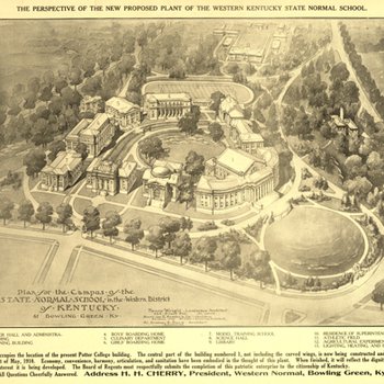
Plan for the Campus of the State Normal School
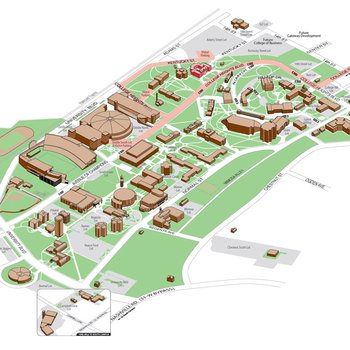
WKU Campus Map
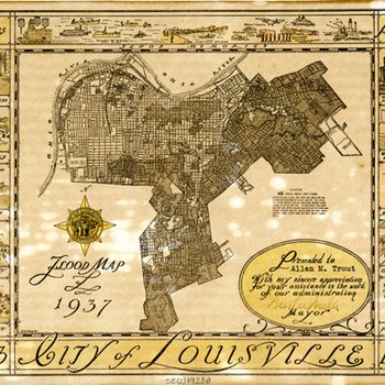
Flood Map
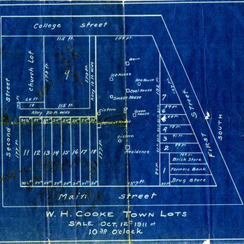
W.H. Cooke Town Lots, Sale
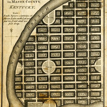
Plan of Franklinville in Mason County, Kentucky
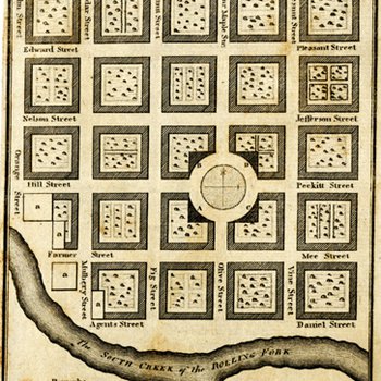
Plan of Lystra in Nelson County, Kentucky
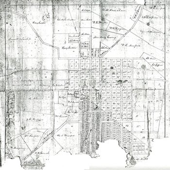
Plat of Glasgow, Kentucky
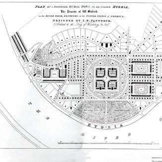
Plan of a Proposed Rural Town to be Called Hygeia
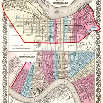
The City of Louisville, Kentucky & the City of New Orleans, Louisiana
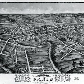
Bird's Eye View of the City of Paris, Kentucky
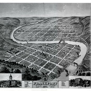
Frankfort, the Capital of Kentucky

Cherryton