• Home
  • Search
  • Browse Colleges, Departments, Units
  • My Account
  • About
  • DC Network Digital Commons Network™
Skip to main content
  • Home
  • About
  • FAQ
  • My Account
TopSCHOLAR®

TopSCHOLAR®

Home > Library > Online Exhibits > 2011: Maps & Mapmaking > Mapmaking & Surveying

2011: Finding Our Way: Maps & Mapmaking

Mapmaking & Surveying

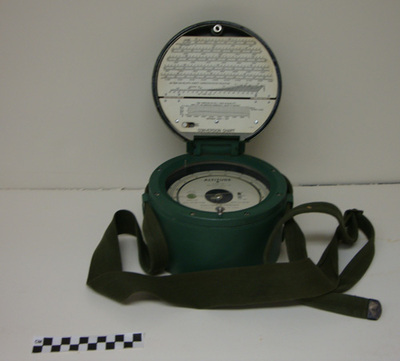
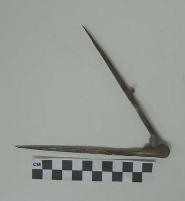
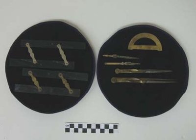
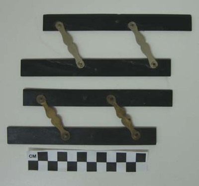
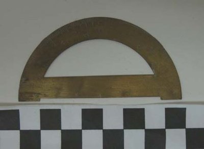
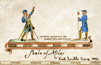
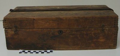
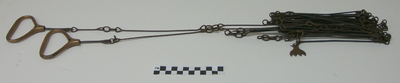
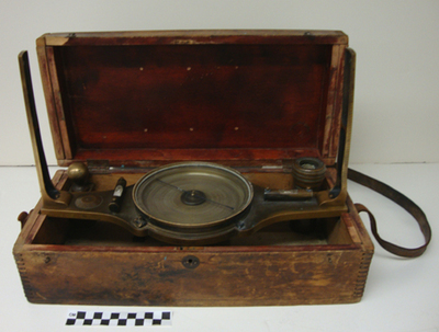
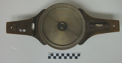
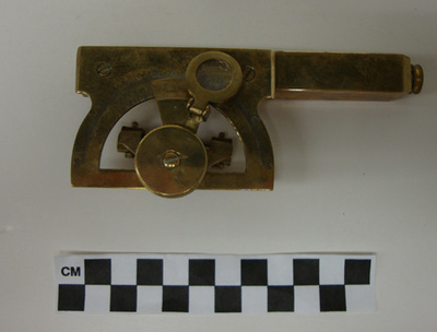
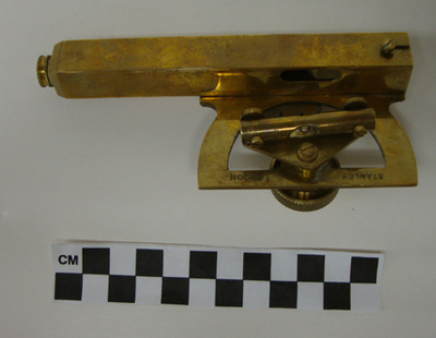
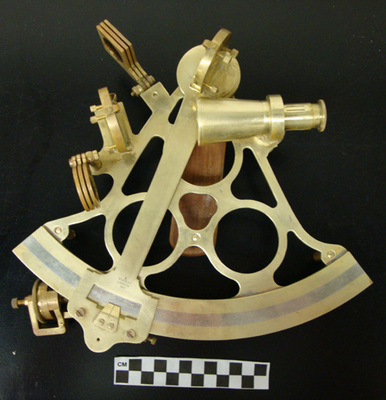
Maps begin with a physical survey of the area to be mapped. In centuries past data was collected using surveying equipment such as a compass, chains, telescopes, levels, paper and pencil. The information was then drawn on paper using protractors, parallel rulers, pen and ink. Later came drafting stencils. As each map was refined and improved it became a base map for the next region to to be mapped.

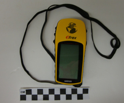
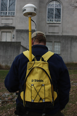
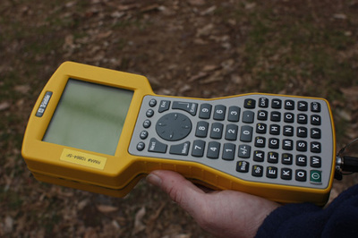
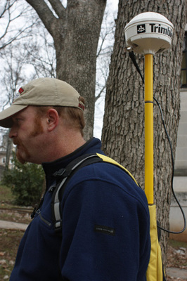
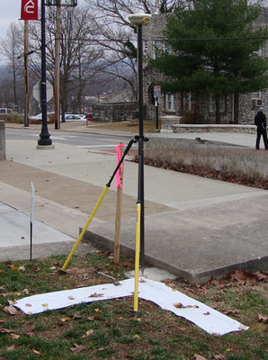
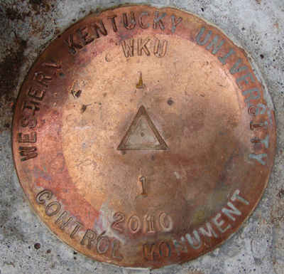
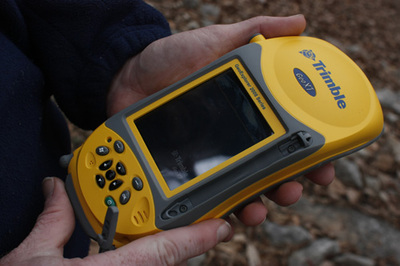
In the 21st century surveyors use hand held GNSS units and communicate with satellites to update geographical information. Benchmarks are placed on the ground. Cartographers have become computer programmers.

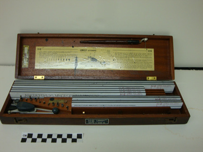
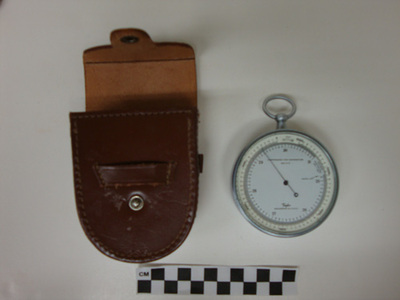
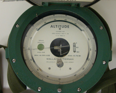
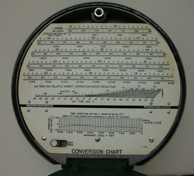
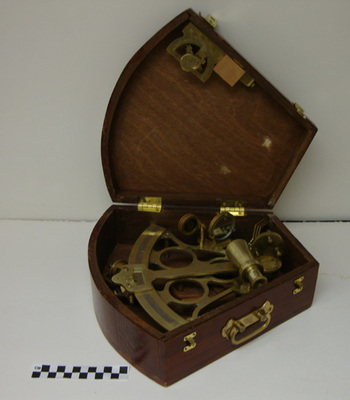
Here is some of the equipment employed to survey land and create maps.

Printing is not supported at the primary Gallery Thumbnail page. Please first navigate to a specific Image before printing.

Follow

Switch View to List View Slideshow
 
  • ETrex by Garmin

    ETrex

  • GNSS Receiver & Backpack by Trimble

    GNSS Receiver & Backpack

  • Handheld GNSS Unit by Trimble

    Handheld GNSS Unit

  • GNSS Transmitter by Trimle

    GNSS Transmitter

  • GPS Marker and WKU NGS Benchmark by Western Kentucky University

    GPS Marker and WKU NGS Benchmark

  • WKU NGS Benchmark by Western Kentucky University

    WKU NGS Benchmark

  • Handheld GNSS Data Collector by Trimble

    Handheld GNSS Data Collector

  • Altimeter by Wallace & Tiernan

    Altimeter

  • Lettering Kit by Scott Dobler

    Lettering Kit

  • Aneroid Barometer by Lucien Vidie

    Aneroid Barometer

  • Altimeter by Wallace & Tiernan

    Altimeter

  • Altimeter by Wallace & Tiernan

    Altimeter

  • Compass by Lillie Osbourne

    Compass

  • Compass Extension by Lillie Osbourne

    Compass Extension

  • Drafting Set by Lillie Osbourne

    Drafting Set

  • Parallel Rulers by Lillie Osbourne

    Parallel Rulers

  • Protractor by Lillie Osbourne

    Protractor

  • Surveying - Dark & Bloody Ground by Karl Smith

    Surveying - Dark & Bloody Ground

  • Compass Box by L. Beckman Company

    Compass Box

  • Surveying Chain by L. Beckman Company

    Surveying Chain

  • Surveyor's Compass by L. Beckman Company

    Surveyor's Compass

  • Surveyor's Compass by L. Beckman Company

    Surveyor's Compass

  • Abney Level by William Abney

    Abney Level

  • Abney Level by William Abney

    Abney Level

  • Sextant by Scott Dobler

    Sextant

  • Sextant in Box by Scott Dobler

    Sextant in Box

  • Ciphering Book by John Bowles

    Ciphering Book

  • Ciphering Book by John King

    Ciphering Book

  • Ciphering Book by Spencer Curd

    Ciphering Book


Advanced Search

  • Notify me via email or RSS

Browse

  • Colleges, Departments, Units
  • Faculty/Staff SelectedWorks
  • Disciplines
  • Disciplines
  • WKU Journals/Peer-Reviewed Series
  • Conferences and Events
  • Authors

Author Corner

  • Author Submissions
  • TopSCHOLAR copyright form
  • Log into SelectedWorks

Links

  • WKU Libraries
  • WKU Homepage
  • WKU Libraries OA Hall of Fame
  • Kentucky Research Commons
  • Digital Commons Repositories

Gallery Locations

  • View gallery on map
  • View gallery in Google Earth
 
Elsevier - Digital Commons

Home | About | FAQ | My Account | Accessibility Statement

Privacy Copyright