
Preview
Creation Date
2-17-1967
Description
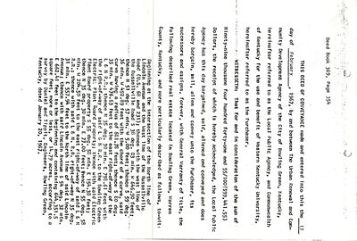
First page of transcription of deed dated 17 February 1967 between The Urban Renewal & Community Development Agency of the City of Bowling Green and 39 listed property holders.
$99,441.55 was paid out to the landholders for property described as:
Beginning at the intersection of the North line of Lincoln Avenue and the West line of the Russellville Road (U.S. 68 and 231); thence with the west line of the Russellville Road S 38 deg. 03 min. W 646.90 feet; thence N 51 deg. 57 min. W 5.00 feet; thence S 59 deg. 36 min. W 492.89 feet with the chord of a curve, said curve having a radius of 681.78 feet; thence S 80 deg. 35 min. W 476.63 feet to the east right-of-way of the L&N R.R.; thence N 35 deg. 30 min. E 798.61 feet with the right-of-way of said L&N R.R. to the Bowling Green Electric Plant Board property; thence with said Electric Plant Board property S 55 deg. 58 min. E 154.38 feet; thence N 35 deg. 30 min. E 77.00 feet; thence N 55 deg. 58 min. W 204.50 feet to the east right-of-way of said L&N R.R.; thence with said L&N R.R. right-of-way N 35 deg. 31 min. E 557.94 feet to the North line of said Lincoln Avenue; thence with said Lincoln Avenue S 54 deg. 32 min. E 662.41 feet to the beginning and containing 644,351.5 square feet, more or less, or 14.79 acres, according to a survey by Daniel & Tippit, Engineers, Bowling Green, Kentucky, dated January 30, 1967.
Keywords
Western Kentucky University, Jonesville