
Preview
Creation Date
6-1960
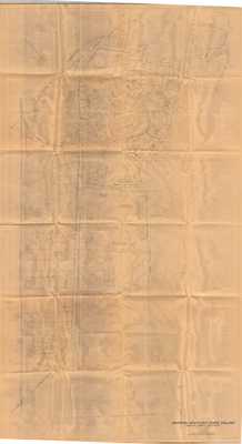
Description
Map of Bowling Green area bounded by 14th Street, State/Street/Normal Boulevard, and L&N Railroad. Shows location of individual buildings in the Jonesville area as well as Western Kentucky University buildings.
Keywords
Western Kentucky University, Jonesville, African Americans, Maps, Cartography