
Preview
Creation Date
1963
Description
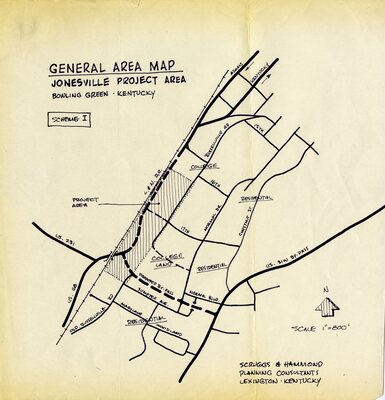
Map of Jonesville Project Area with a scale of 1" = 800'. The map is oriented looking northward. The boundaries are the L&N railroad on the northeast, 14th Street on the North, US31W By-pass on the west and Maryland & Woodland Streets on the south. The map was filed with documents dating from 1961-1965.
Keywords
Western Kentucky University, Jonesville, African Americans