

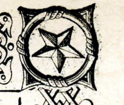
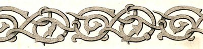
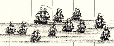
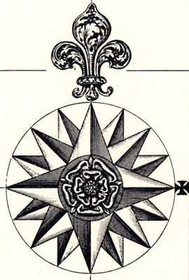
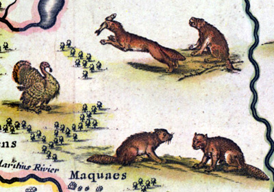
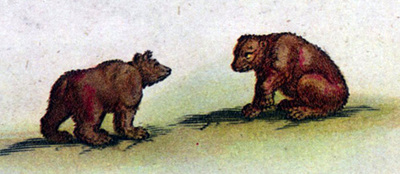
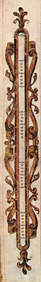
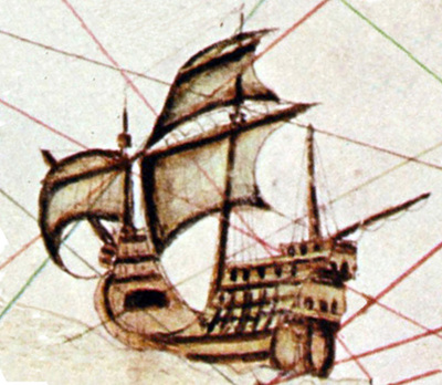
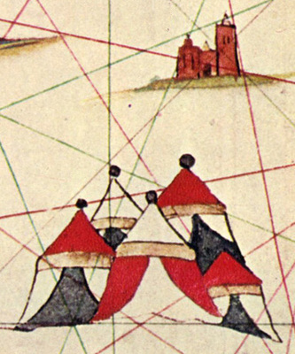
This section of the exhibit focuses on artistic details often found on maps. It features the following maps from the Kentucky Library Collections:
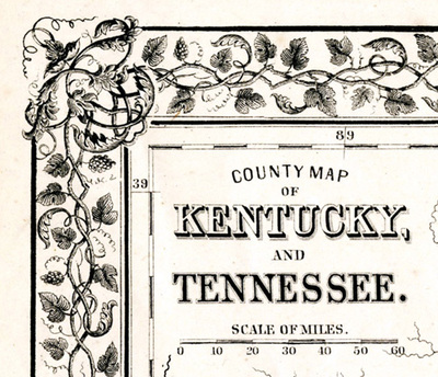
Berg, Carl. County Map of Kentucky and Tennessee, 1867 SB2-22476
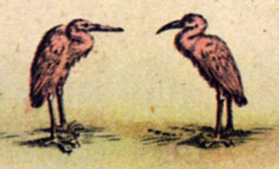
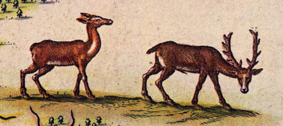
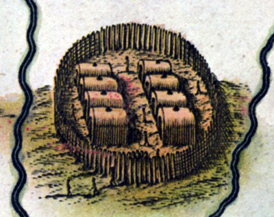
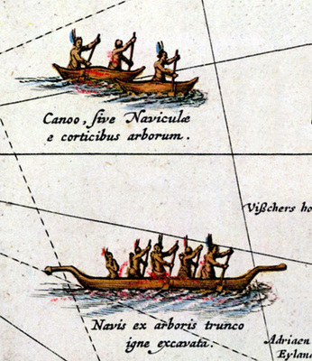
Blaeu, Willem. New Netherlands & New England, 1635, S27375.
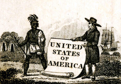
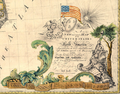
Buell, Abel. New and Correct Map of the United States of America, 1784, S27378
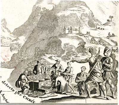
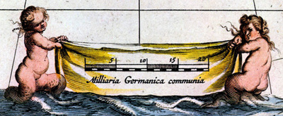
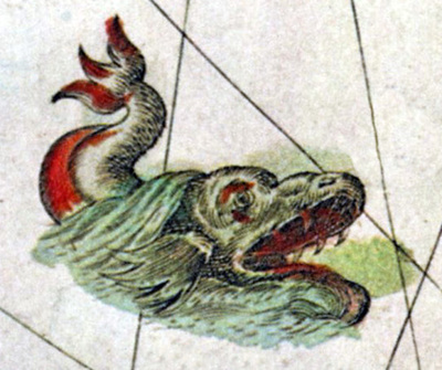
Desceliers, Pierre. A Mariner's Guide to the New World, 1600, S27374.
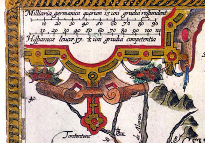
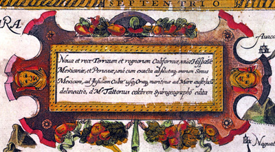
Homann, J.B. Regni Mexicani seu Novae Hispanie, Ludovicianae, N. Angliae, Carolinae, Virginiae, et Pensylvania, 1763, M28366
John Thomson & Co. United States of America, 1828 S34805
John Thomson & Co. United States, nd, SB2-34806
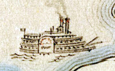
Johnson & Browning. The City of Louisville, Kentucky & the City of New Orleans, Louisiana, 1855, S18677
Johnson & Ward. Johnson's Kentucky and Tennessee, 1865, S22413
Kentucky Historical Society. The Great Settlement Area 1750-1800, 1975.
Popple, Henry. Map of the British Empire in North America, 1733, M24925.
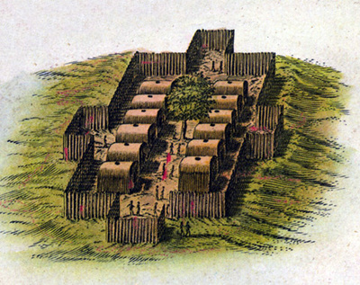
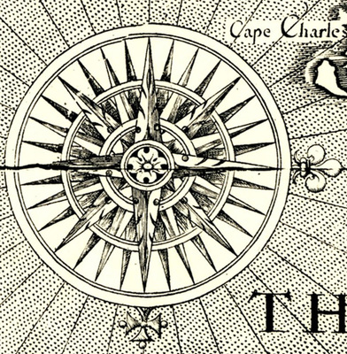
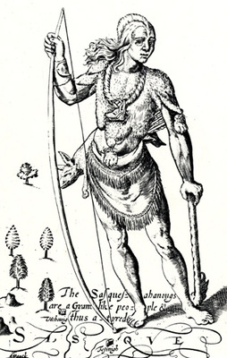
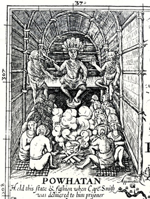
Smith, John. Virginia, 1606, M25536
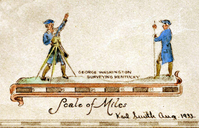
Smith, Karl. An Historical and Geographical Map of the State of Kentucky, the Dark and Bloody Ground, 1933, S8072
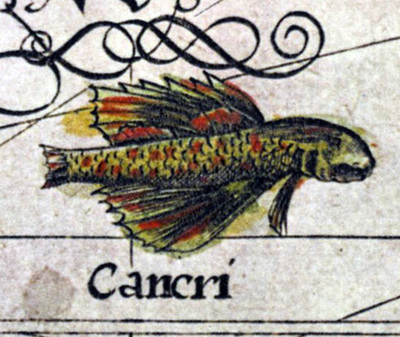
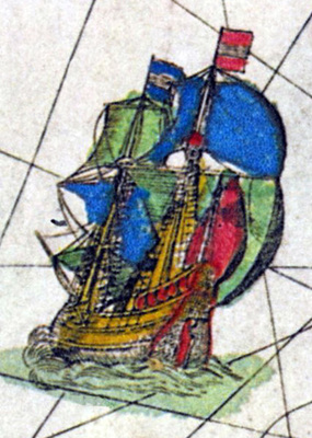
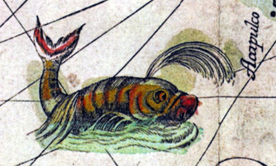
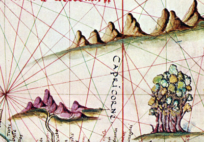
Tatton, Gabriel. The New World, 1600, S27376.


