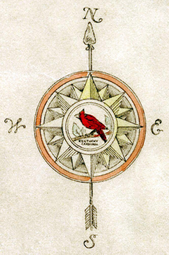
Our cultural and physical geography is showcased by mapmakers through county land ownership, large-scale topographic and thematic maps, and other maps that portray a geographic area at a particular point in time. Mapmaking is the story of heroes and everyday routines. They are tools and yet many are works of art.
Enjoy this sample of the Kentucky Library and Museum’s map collections.
Exhibit created by Suellyn Lathrop and Todd Wilson using maps, photographs and three-dimensional objects from the KYLM collections.
Thanks to Nancy Richey, Jonathan Jeffrey and Timothy Mullin for their invaluable assistance.
Special thanks to Scott Dobler for lending objects for the exhibit.

