

Preview
Creation Date
2011
Description
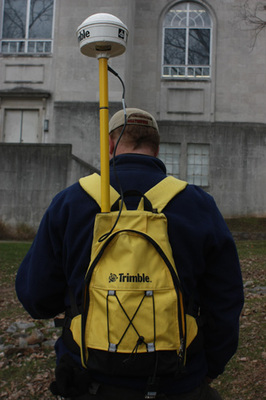
Student Todd Wilson demonstrating the global navigation satellite system. This view shows the back pack and transmitter which receives data from the satellite. This equipment is owned by the WKU Department of Geography and Geology.
Keywords
Maps, Mapmaking, Cartography, Surveying