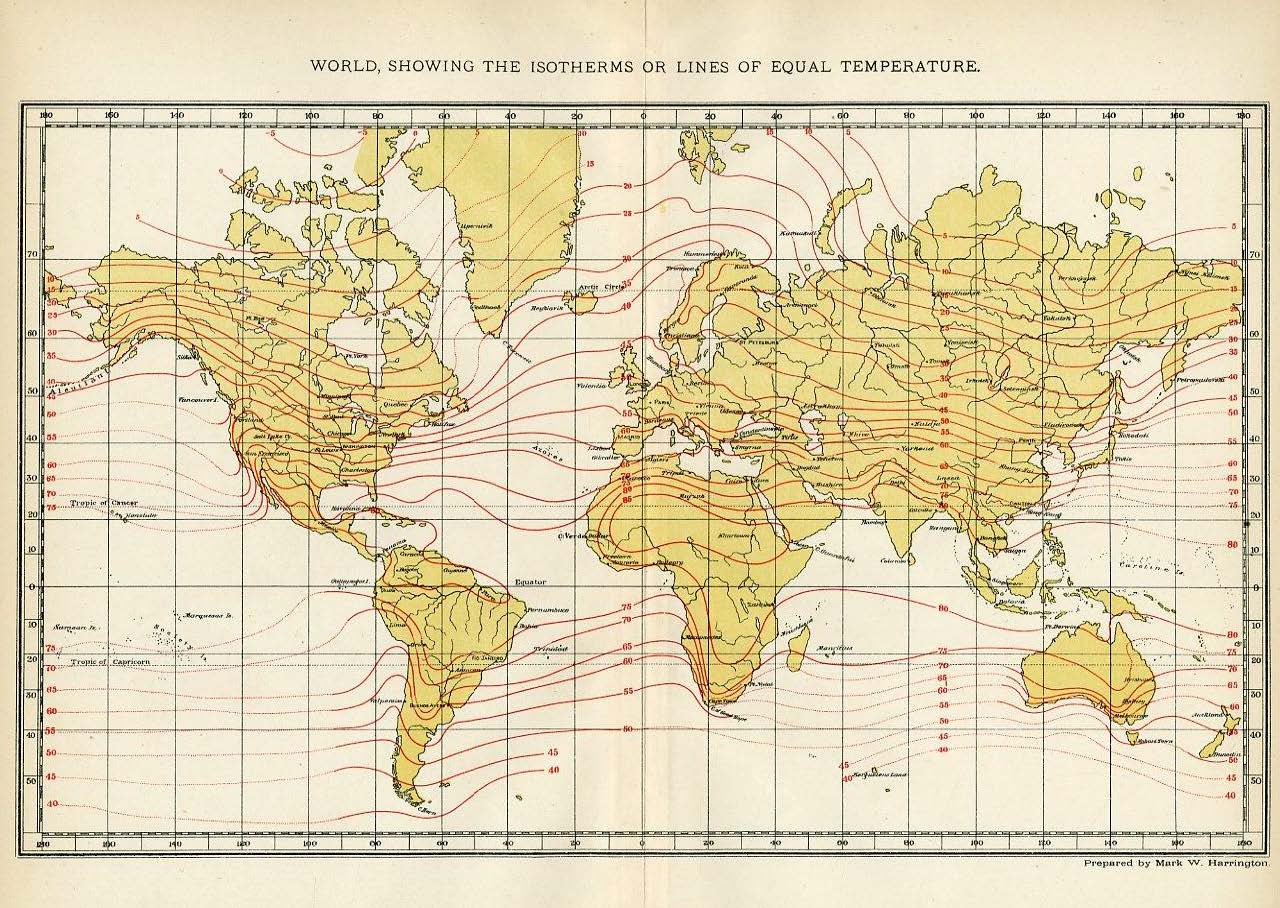
Maps and Plates from 1902 Encyclopedia
Abstract
State and province maps from the United States and Canada that were published in the 1902 edition of the "Universal Cyclopedia and Atlas" compiled under the direction of Charles Kendall Adams (New York: D. Appleton & Co., 1902)
Disciplines
Geography
Recommended Citation
Kentucky Library Research Collection, "Maps of U.S. States and Canadian Provinces, 1902" (1902). Maps and Plates from 1902 Encyclopedia. Paper 5.
https://digitalcommons.wku.edu/dlsc_maps_1902enc/5

Comments
Made possible by former WKU science librarian Charles Smith.