

Preview
Creation Date
2003
Description
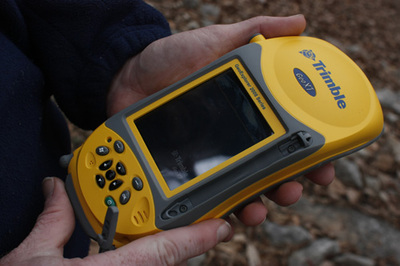
Handheld global navigation satellite system collects data from satellites which can be downloaded into a computer. This unit is owned by the WKU Geography & Geology department and was loaned for the exhibit.
Keywords
Maps, Mapmaking, Cartography, Surveying