
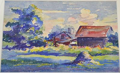
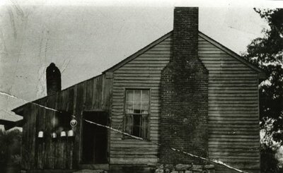
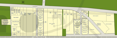
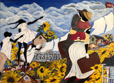
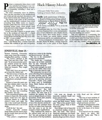
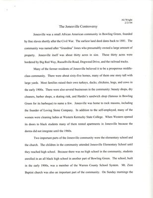
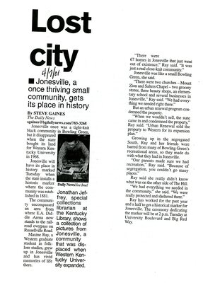
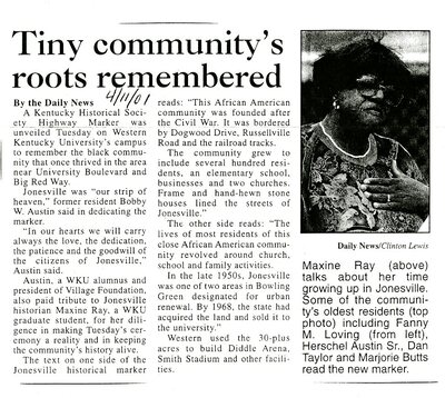
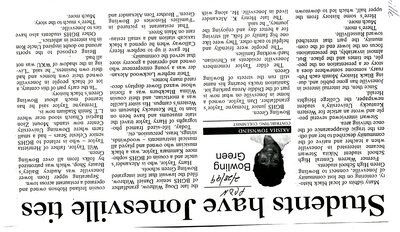
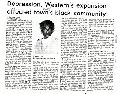
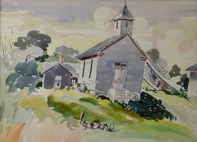
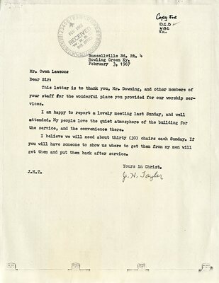
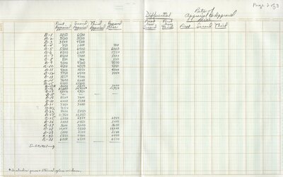
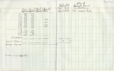
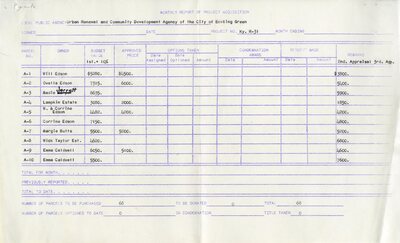
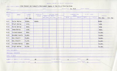
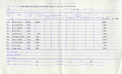
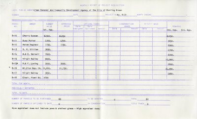
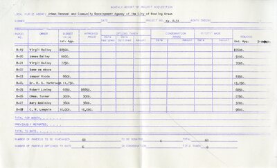
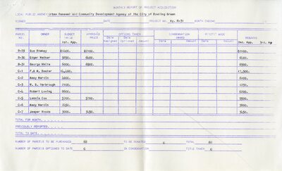
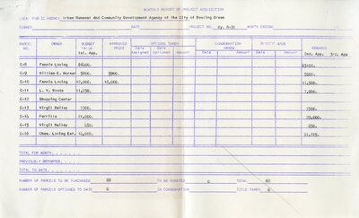
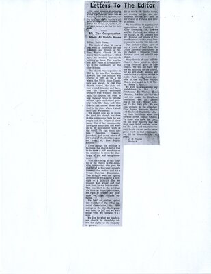
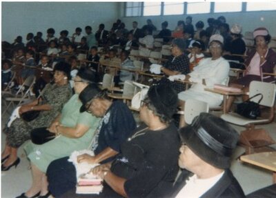
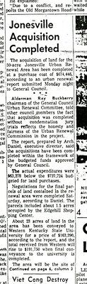
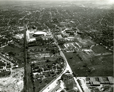
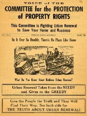
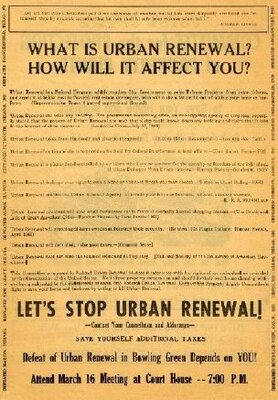
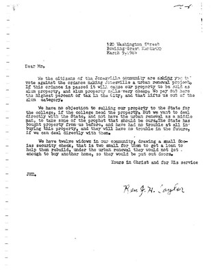
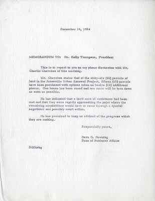
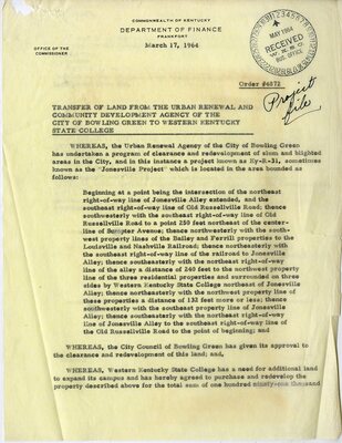
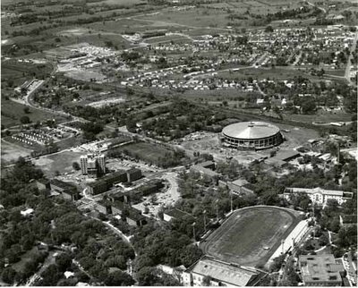
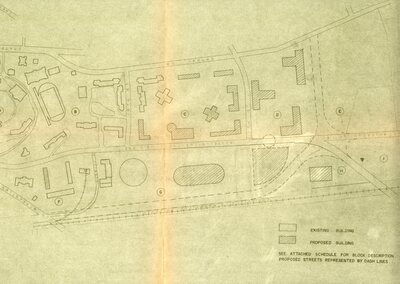
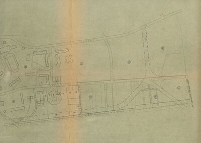
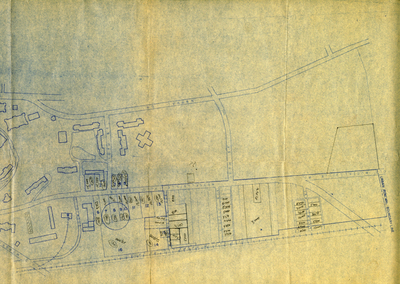
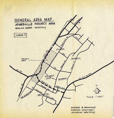
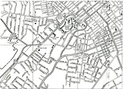
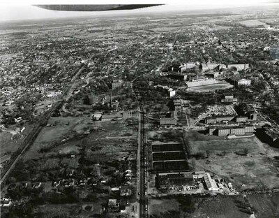
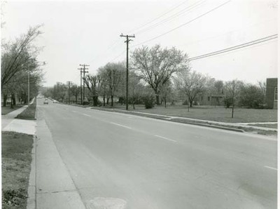
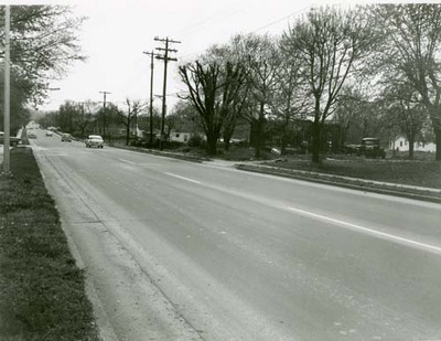
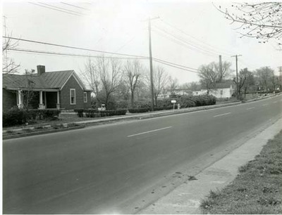
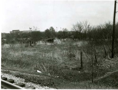
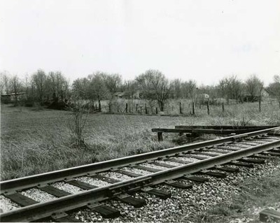
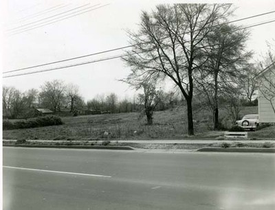
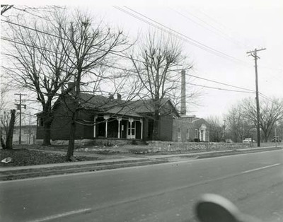
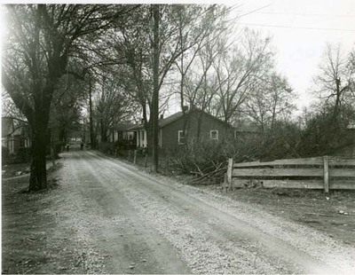
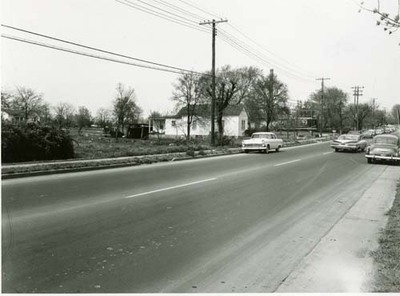
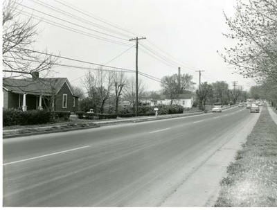
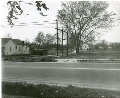
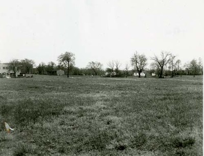
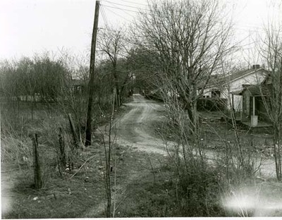
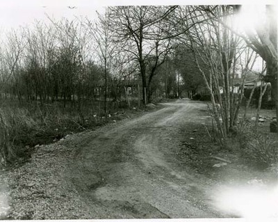
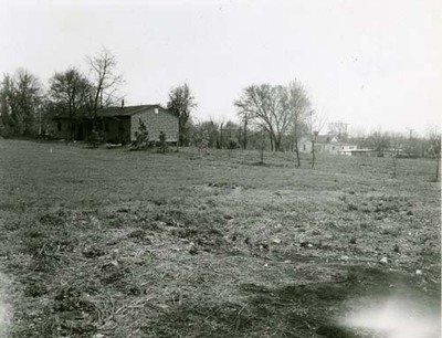
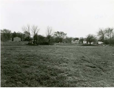
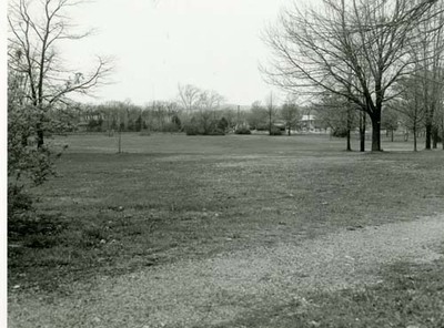
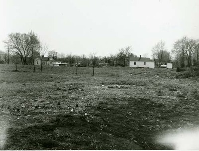
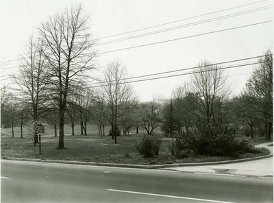
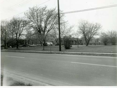
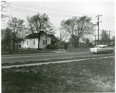
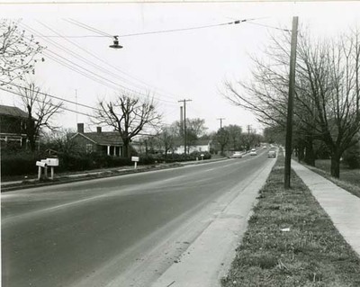
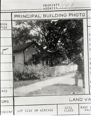
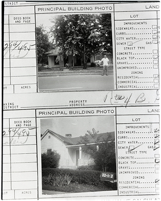
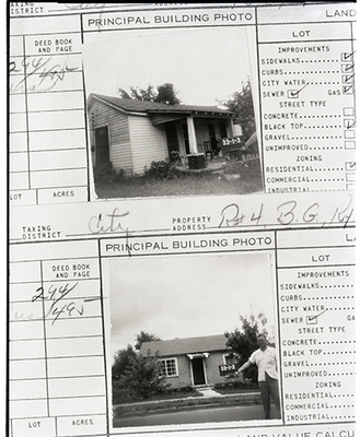
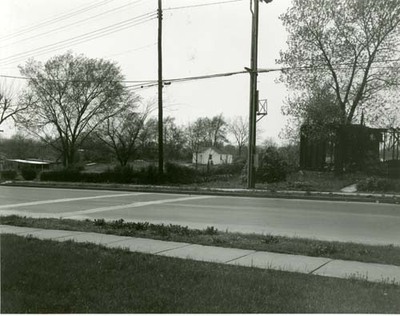
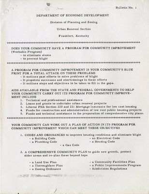
This African American community was founded after the Civil War. It was bordered by Dogwood Drive, Russellville Road and the railroad tracks. The community grew to include several hundred residents, an elementary school, businesses, and two churches. Frame and hand-hewn stone houses lined the streets of Jonesville. The lives of most residents of this close African American community revolved around church, school and family activities. In the late 1950s Jonesville was one of two areas in Bowling Green designated for urban renewal. By 1968 the state had acquired the land and sold it to the university. [Jonesville Historical Marker #2052, erected 2001.]
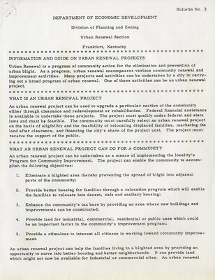
This exhibit presents images and documents regarding the history of Jonesville and the urban renewal process that led to the community’s demise.
Printing is not supported at the primary Gallery Thumbnail page. Please first navigate to a specific Image before printing.


