

Preview
Creation Date
1933
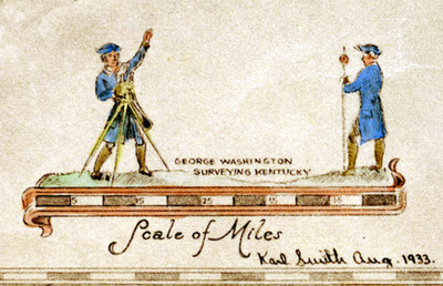
Description
Illustration of George Washington and friend using compass and chains to survey ground. Drawing by Karl Smith and used with scale of miles on An Historical and Geographical Map of the State of Kentucky, the Dark and Bloody Ground.
Keywords
Maps, Mapmaking, Cartography, Surveying