

Preview
Creation Date
1855
Description
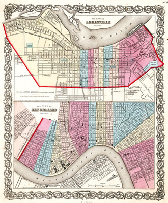
Plate #34 removed from an unidentified atlas. This page presents full color maps of Louisville, Kentucky and New Orleans, Louisiana. It is interesting to be able to compare the layout of these two river cities.
Copyright open, copies of this map may be obtained for fee of $10.00. Contact spcol@wku.edu for more information.
Keywords
Maps, Mapmaking, Cartography, Kentucky, Urban Planning, Louisiana