Preview

Creation Date
1920
Description
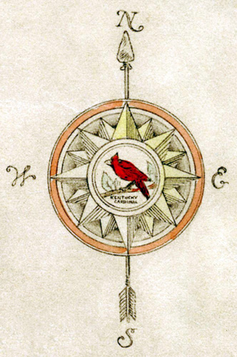
Farm map of western Warren County, Kentucky showing the extent of farms and number of acres in each. The following people and companies are listed as land owners:
Alderson, L.G.
Baker, ?
Baker, Mary
Blaney, Jack
Border, ?
Boulton, Fred
Bowling Green Business University
Bradburn, ?
Briggs, ?
Campbell, Jonathan
Cartwright, ?
Cherry, ?
Christian, ?
Conway, W.L.
Craft, H.N.
Crowe, Lloyd
Davenport, C.G.
Davenport, Georgia
Davenport, Ora
Davidson, ?
Deatherage, James
Delafield, ?
Dixon, H.
Dodson, ?
Downing, ?
Dunn, ?
Durdin,?
Ennis, Frank
Ennis, J.
Ennis, M.
Ferguson, Mary
Fleenor, ?
Forrester, C.
Gilber, E.M.
Gones, ?
Goodrun, ?
Graham, ?
Harlington, ?
Harvison & Rodes
Hayden, ?
Herd, W.N.
Hilll, T.B.
Hoboy, J.W.
Hobson, ?
Hook, ?
Horn, ?
Horton, F.
Hudson, ?
Hunter, ?
Hunton, E.
Isbell, ?
Jackson, A.
Jefferson, George
Jenkins, C.
Jenkins, J.L. Jr.
Johnson, ?
Jones, ?
Keller, C.
Kissler, B.
Kister, F.L. Jr.
Lashhart, H.H.
Lawrence, H.
Lazarus, Harry
Leichart, H.
Manning, ?
Martin, J.H.
Mayfield, ?
McCoin, ?
McGinnis, Bud
McGinnis, C.
McGinnis, H.S.
McGinnis, J.E.
McGinnis, J.W.
McMurtry, ?
Mercer, G.
Miller, ?
Miller, E.
Miller, E.J.
Miller, W.H.
Moody, ?
Morgan, Cooper
Morgan, J.
Moyer, E.
Myles, ?
Nune, ?
Nutsell, ?
Orange, J.J.
Palmer, ?
Palmer, May
Palmer, T.
Paschal, ?
Perkins, ?
Pierces, J.H.
Porter, R.E.
Possey, ?
Potter, H.
Proctor, B.F.
Rabold, W.R.
Ragley, ?
Reed, ?
Richie, ?
Rigglewood, George
Rigglewood, H.
Riggs, Dr.
Roemer, A.
Rush, Charles
Russell, ?
Sibert, ?
Simmons, L.
Snell, R.
Snell, W.
Spencer, Annie
Spencer, T.R.
Stagner, T.J.
Stone Brothers
Strother, Dr.
Sublett, ?
Sumpter, ?
Sweeney, ?
Tanner, ?
Tarrents, ?
Taylor, ?
Thoams, ?
Tuch, L.G.
Warrener, S.K.
Westbrook, ?
Westbrook, Charles
White Stone Quarry
Whitney, Dan
Wilkins, ?
Willoughby, W.E.
Young, H.
Young, J.W.
Copyright open, copies of this map may be obtained for fee of $10.00. Contact spcol@wku.edu for more information.
Keywords
Maps, Mapmaking, Cartography, Kentucky, Land Ownership

